Location and Topography
Socotra Island is the largest island of Yemen, approximately 125 Km long by 44 Km wide and a population of 55000 with their own district language and culture; they also speak the Arabic. The coastal area is inhabited by fishermen majority of African origin, using African huts whereas the Wadis are inhabited by Nomads of Arab origin and the mountains region is inhabited by Nomads & Descendants of an old South Arabian tribe speaking the old Arabian dialect Socotri related to the Mahari dialect. Socotra is a member of a group of four outlying islands Abd Al-Kuri, Samha & Darsah. There are also interesting affinities with other groups of islands including Seychelles & some remote islands of the Atlantic Ocean.
Socotra is more closely linked with Africa than Arabia makes it a unique island of Hybrid Flavor, its separation from Africa is believed to have occurred approx. six million years ago, as a result, many animals & plants that live today on the island are endemic species. This island finds itself at a convergence of eras & culture due to its strategic location & valuable incense and trade throughout centuries has seen the influence of many African groups & European nations including Greek, Portuguese & British. The native Socotrans are simple, kind, and hospitable to visiting tourists.
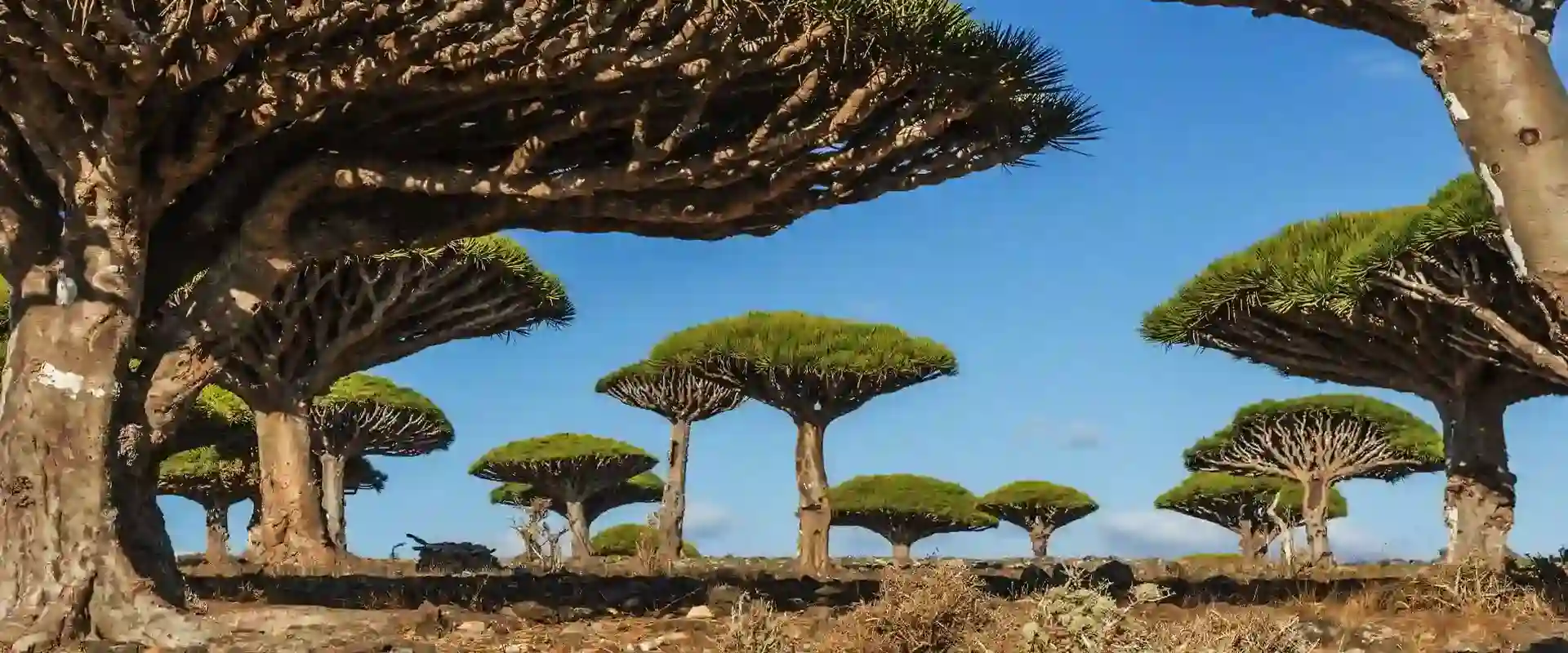
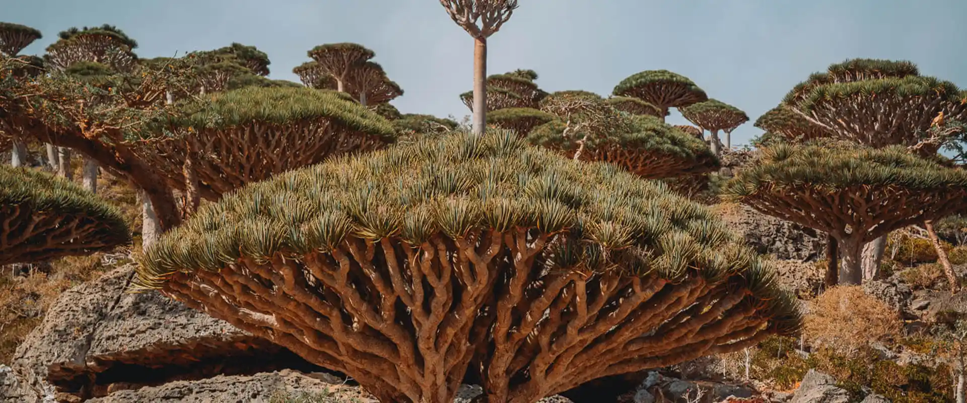
Being virtually isolated from the rest of the world for a long period, Socotra remains one of the most fascinating places on earth. An island that provides unique opportunity & challenge has Arabia’s greatest plant & animal diversity. Many animals & plants that live today on Socotra are found nowhere else on earth. The very high degree of endemism makes the island an important place in terms of global wildlife conservation.
It is believed that some of the plants & animals found on Socotra are in fact ancient relics of a much larger land mass which has been preserved here as a result of the fact that the Haghir Massif has not been totally submerged for at least 135 Million years. The absence on any indigenous mammals is reported to be further indication of the island’s very ancient origins, possibly from time before mammals appeared on earth.
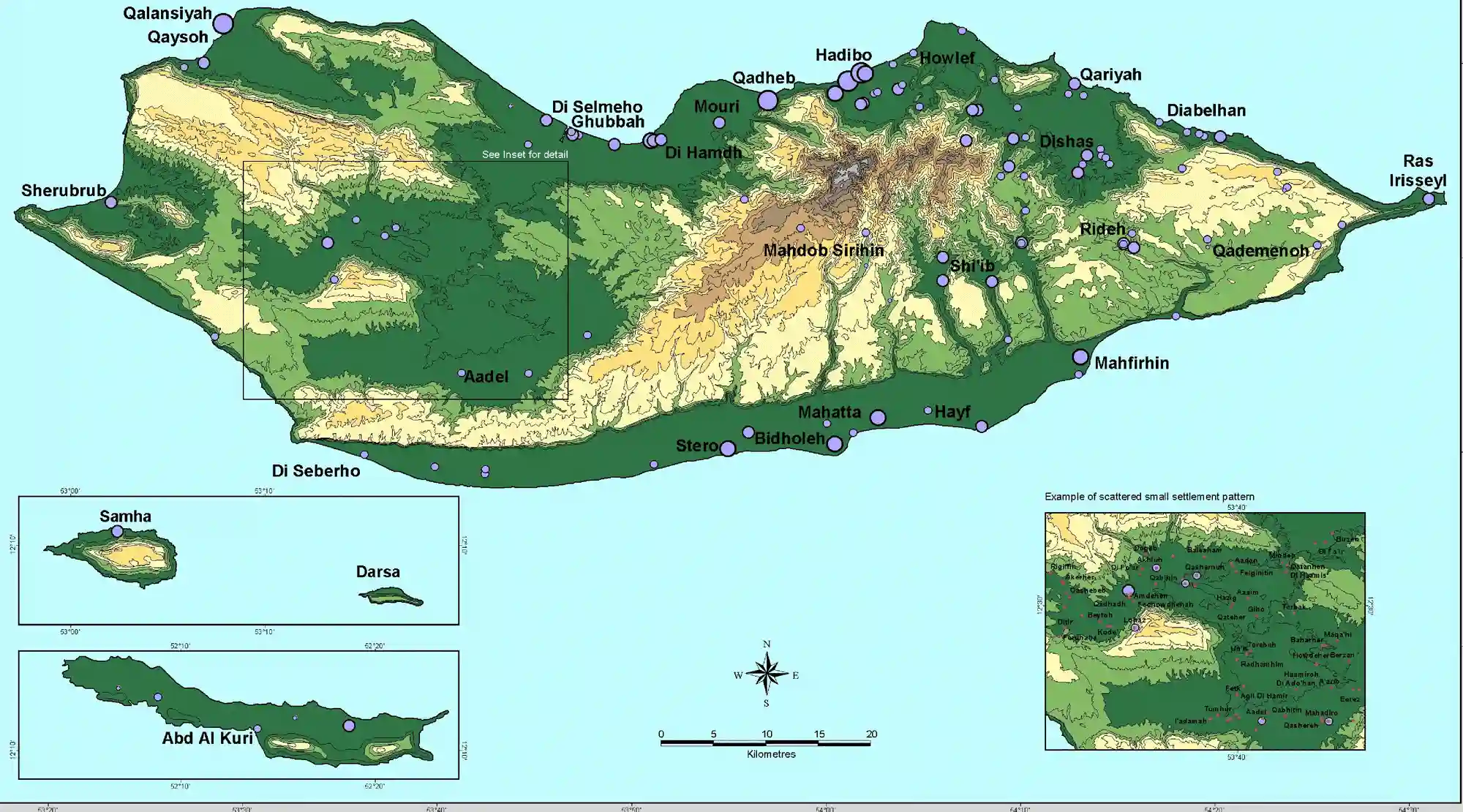
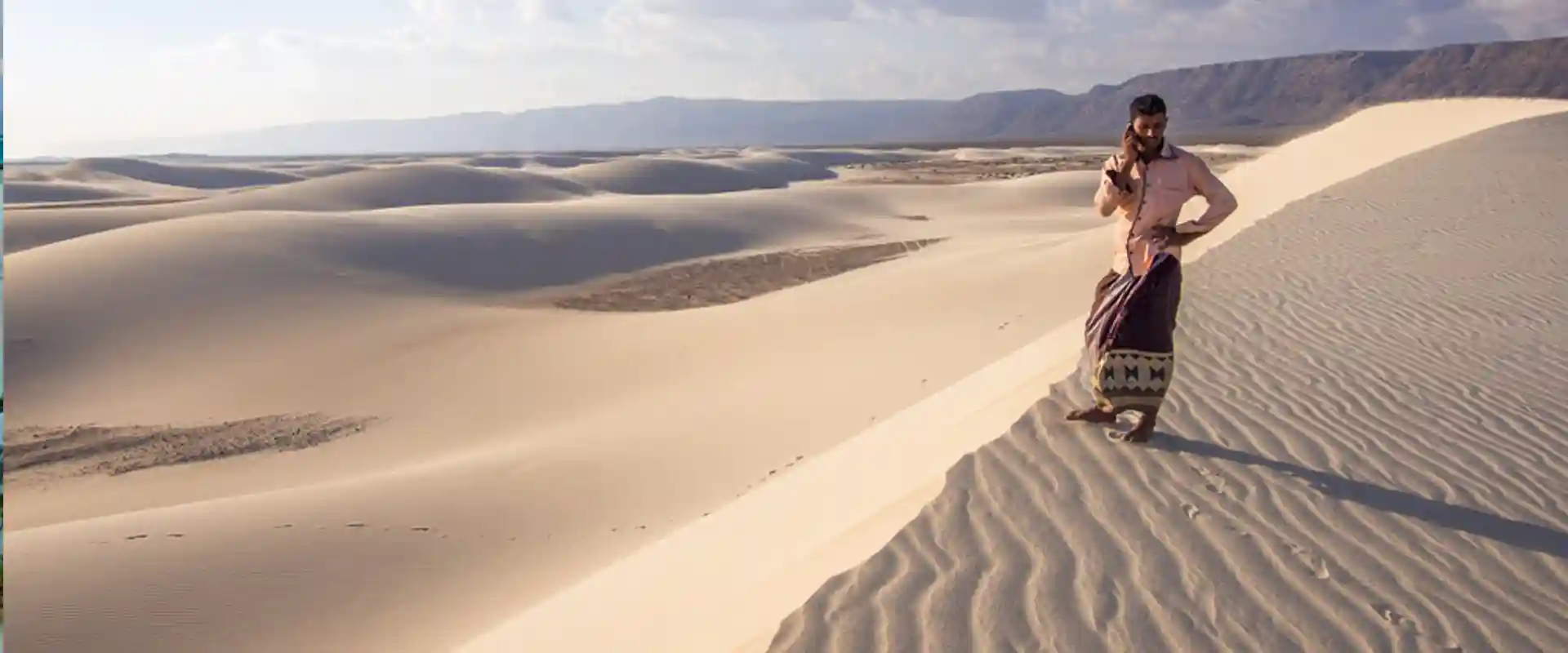
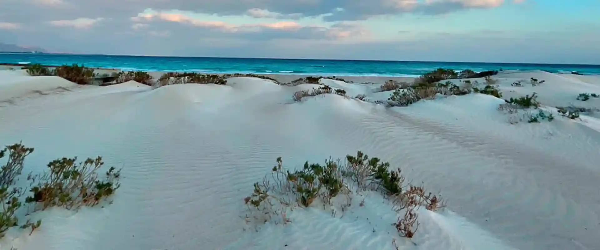
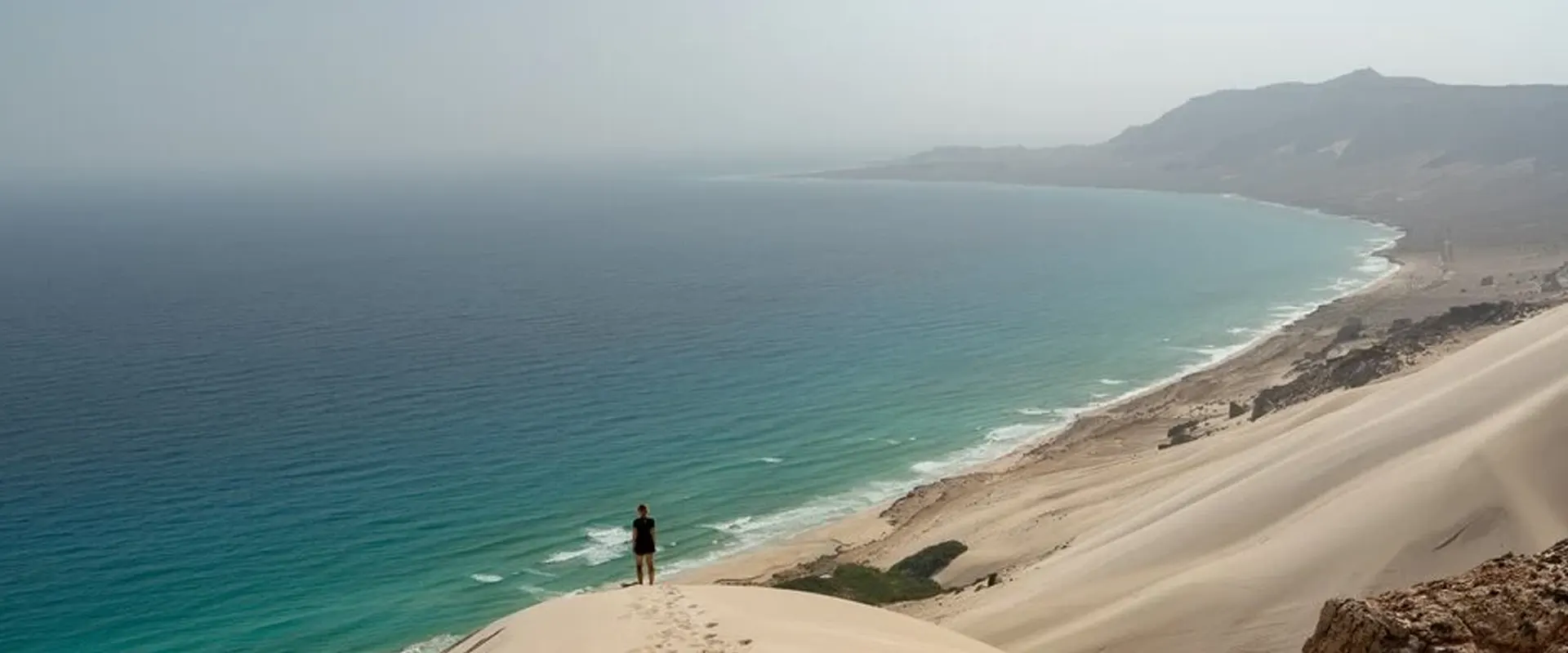
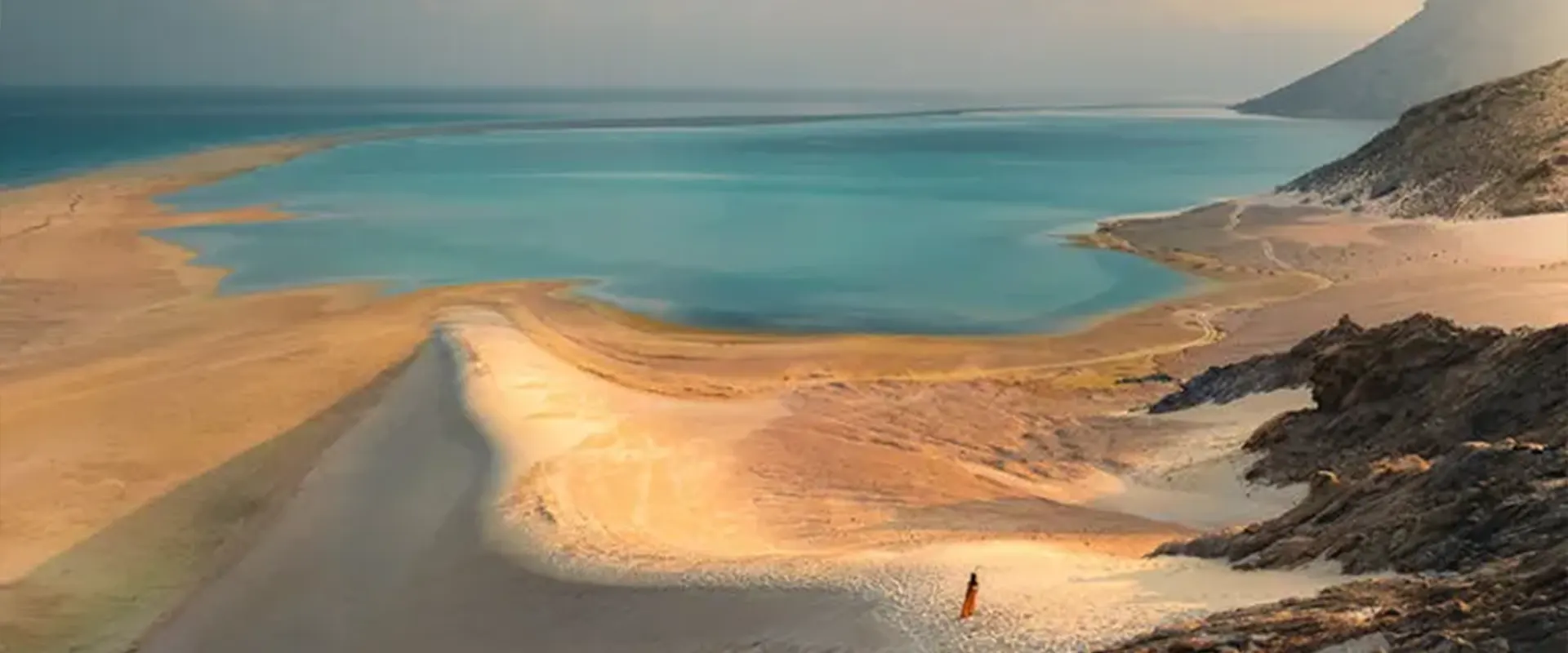
The coastal plains
These very width and length but are about 8km at their widest, The largest un broken stretch is the Noged in the south, which is c.8km long and averages 6km is width .
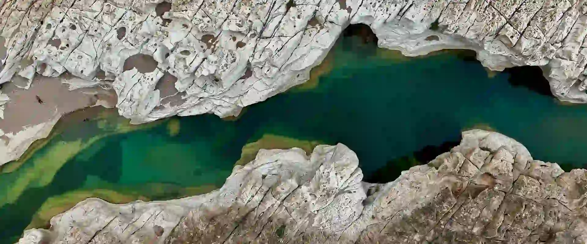
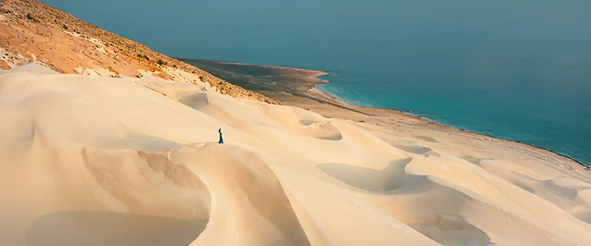
Along other parts of coast, shorter stretches of plain are broken by rocky head lands and the escarpment cliffs of the limestone plateau. The wadis are mostly chocked by boulders and debris son permanent streams the plains although they do flow to the sea when in flood. Many of the north-flowing wadis terminate in small fresh or brackish lakes separated from .the sea by spits an admixture of fine grey soil, In some areas fine soils car ride down from the uplands have become shallowly deposited ,These soils were important for local agriculture popover 1957 shallow deposits particularly near Qalansiyah , Hallah on the east coast and on the Ras Hawlaf promontory where have become banked against the lime-stone to a height of about 100m, on the Noged plain white sands of shell and coral origin from abet along the coast whilst farther in land large accumulations of yellow sand . From dunes up to 70m high in places.
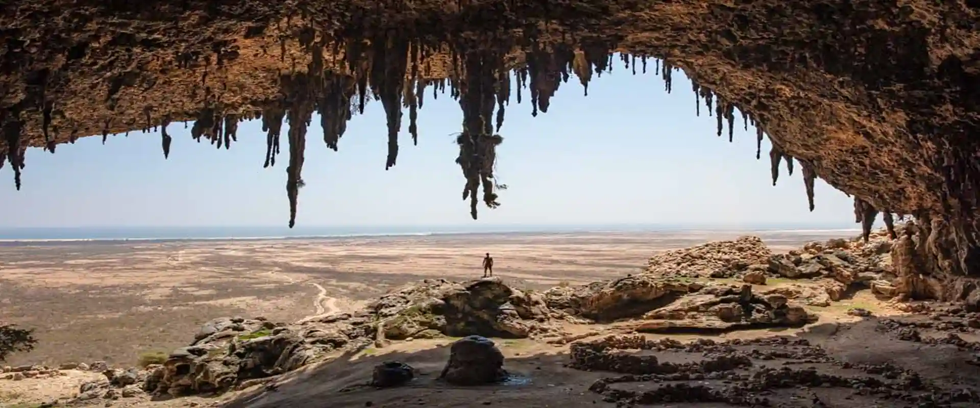
The limestone plateau
This extends across large part of the Island, averaging 300-700m in elevation and reaching over 800m at it’s highest point in the west, The plateau drops in steep, often almost vertical escarpments either to the coastal plain or directly to the seawards flow from the central mountains, part ocular in the south cutting deep into the plateau, The sum it is rolling or in some areas , broken by well vegetated cliffs and guiles , The surface exhibits typical karts feature, with in some areas e.g. Rewind large areas of bare pavement, gullies ,swallow holes and cliffs
In other areas particularly in the east where deeper soils have accumulated in broad, shallow there are extensive areas of flat gross land. Few streams are visible on the surface and caves are common, in the west there is large. Dry and poorly vegetated drainage basin the Zahra soils developed but weathering has produced a fertile red or grey, clay soils which accumulate in fissure and solution hollows in the limestone. In the valleys and some depression agreater depth. Of red ishclay soils terrarossa has accumulated.
Abd al kuri
Abd al kuri is the second largest island in the Archipelago. It is approximately 33=5km and covers 133km 2. in aspect it is desertic with little or on vegetation visible from adistance.The coastal plain are com posed primarily of sandy and gravelly soils with frequent rock outcrops .The mountain are fairly steep and their slopes are covered with loose rock and sere, The summit ridge of jebel Selah consists of a cap of limestone split in to large block by cliffs and deep. Gullies. Providing variety of relative hospitable niches for plants, there are no perment streams on the island and only few freshment seepage at higher elevations.
Samha and Darsa
Samha has a land surface of 41km and is the third largest island in the archipelago.
It is approximately 50km southwest of Socotra and 60km east of Abdalkuri.
It is closet neighbor is the small uninhabited island of Darsa which lies some 17km to the east. Samha and Darsa are collectively known as the brothers. Samha is largely desertic is aspect with little or no vegetation visible from a distance. the centre of the island is dominated by a flat topped limestone plateau, the summit of which slopes gently upwards from the highest point at c.680 in the west .the plateau is surrounded on all sides by steep clifts dropping to the boulder strewn foot hill that cover the rest of the island. Along most the coastline the foothills drop directly to the sea and there is little or no coastal plain except in the west where a low sandy peninsula extends c, 2km into the sea.
Winds
The contrast between the winds of the SW and NE monsoon isamagor feature of the climate of the Archipelago. During the NE monsoon the winds are relatively light, the wind speed seldom exceeding 25-35km per hour .How ever Gwynne 1998 cites observation during the SW monsoon of gale force wind and above making up over 50% of all records for Socotra. There were for instance, 23 gale days during July. Cronk 1988 mention how, during the SW monsoon, the winds average 70PH.